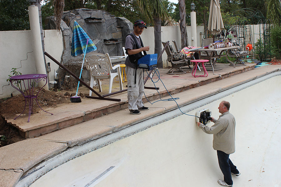
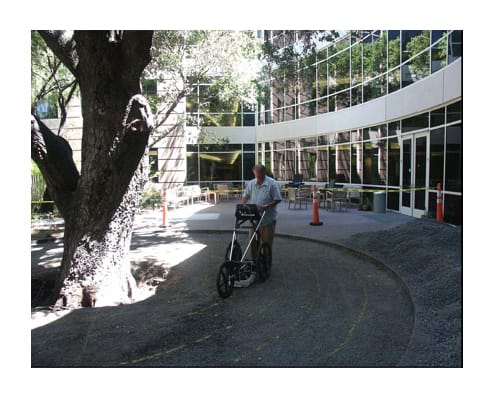
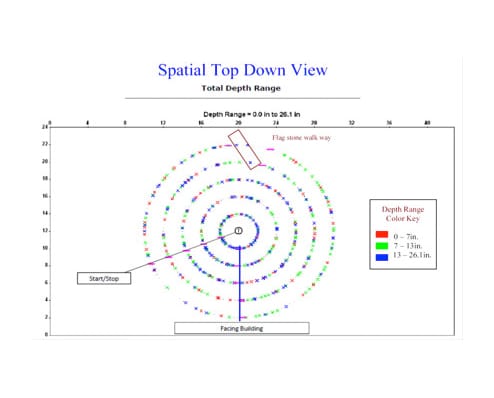
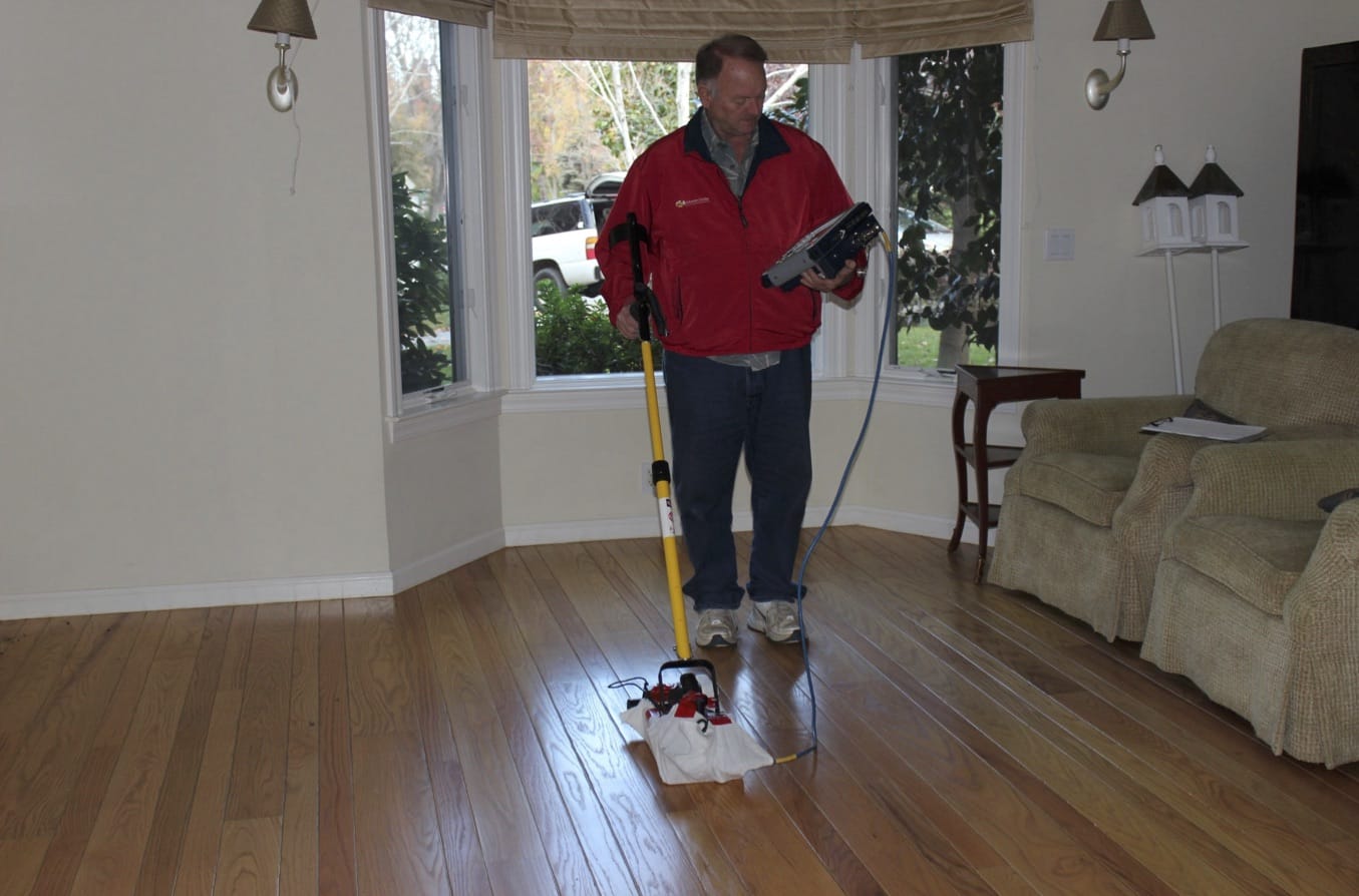
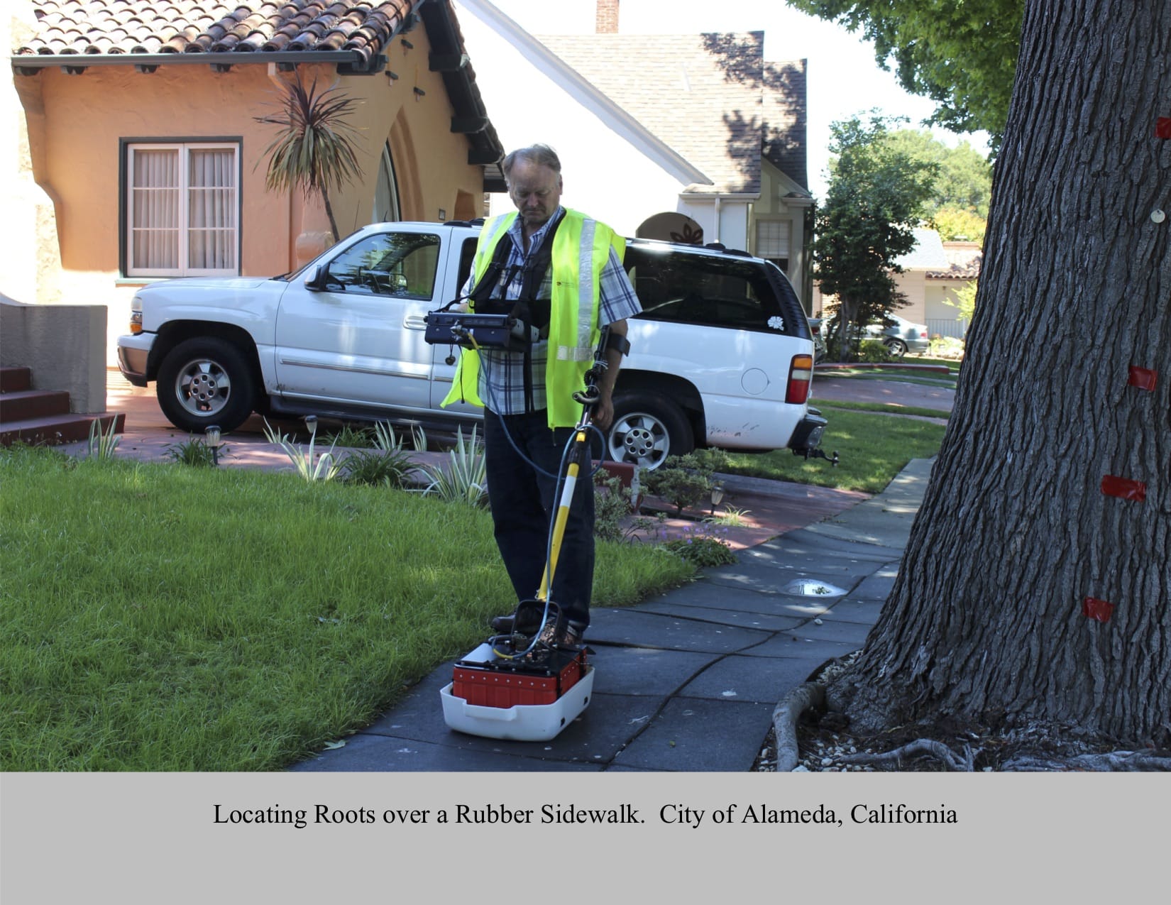
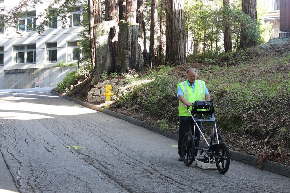
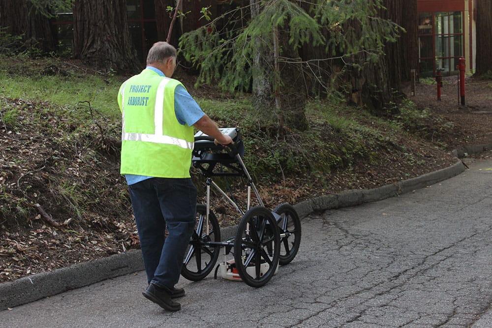
Arborist OnSite® uses Ground Penetrating Radar technology for tree root mapping.
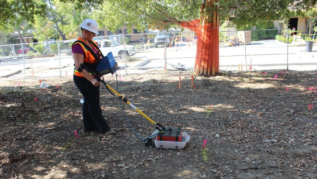
Introduction to Ground-Penetrating Radar (GPR)
Ground-Penetrating Radar (GPR) is an established technique that has been used worldwide for over 40 years to locate objects underground, including pipes, barrels, drums, and other engineering and environmental targets. When an electromagnetic wave emitted from a small surface transmit antenna encounters a boundary between objects with different electromagnetic properties it will reflect, refract, and/ or diffract from the boundary in a predictable manner. Electromagnetic differences between tree roots and the surrounding soil matrix provide the necessary contrast and reflection properties that are detected by GPR.
Ways Our Clients Have Benefitted from GPR
- Isolating foundation damage from invasive tree roots.
- Determining root location and density at construction sites for protected trees.
- Determining the actual drip-line of trees for protection at construction sites.
- Placement of swimming pools, leach lines and pipes to minimize root damage to existing trees.
- Determining location placement of construction piers between lateral root systems for foundation or retaining wall construction.
- Trenching near protected trees, knowing where and where not to dig.
- Existing sidewalk, curb or driveway replacement, preventing root damage.
- Determining root density and depth to evaluate a tree’s stability.
- Determining root density for placement of below ground tanks or equipment near protected trees.
- Litigation cases such as trip and fall, involving raised concrete sidewalks and tree roots.

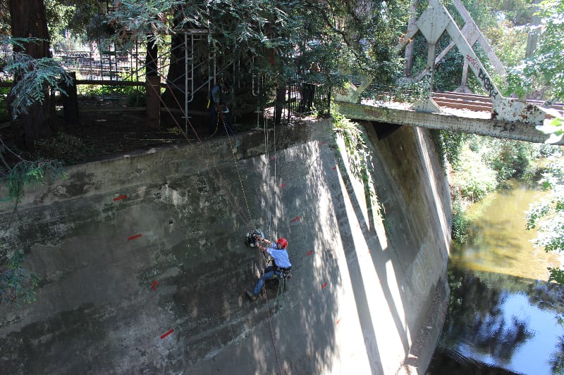
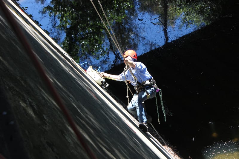
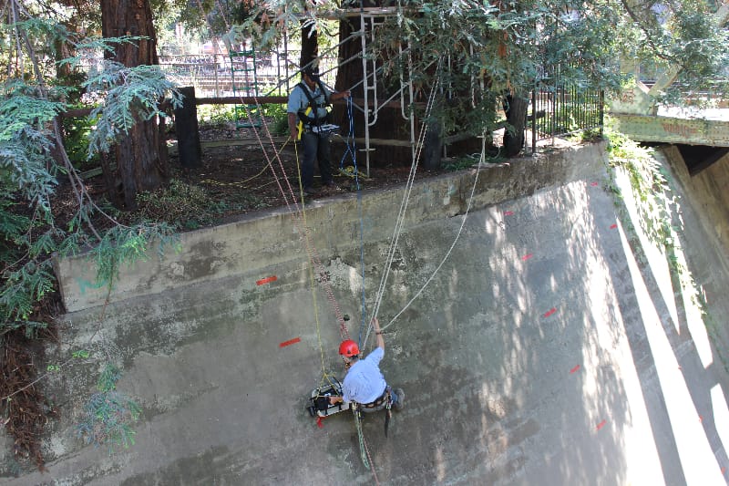
University of California Santa Cruz Campus, asphalt street replacement Redwood Tree root study, protection, locating, mapping.
Advantages of Ground-Penetrating Radar as a method of mapping tree roots over other methods of root locating
- It is capable of scanning root systems of large trees under field conditions.
- It is completely non-invasive and does not disturb the soils or damage the trees examined, and causes no harm to the environment.
- Being non-invasive, it allows repeated measurements that reveal long-term root system development.
- It allows observation of root distribution beneath hard surfaces (concrete, asphalt, bricks), roads and buildings.
- Its accuracy is sufficient to resolve structural roots with diameters from less than 1 cm (0.4 in) to 3 cm (1.2 in) or more.
- It can characterize roots at both the individual tree and stand levels, facilitating correlations with tree-and stand-level measurements of physiological processes (e.g., sap flow) in complex ecological studies.

