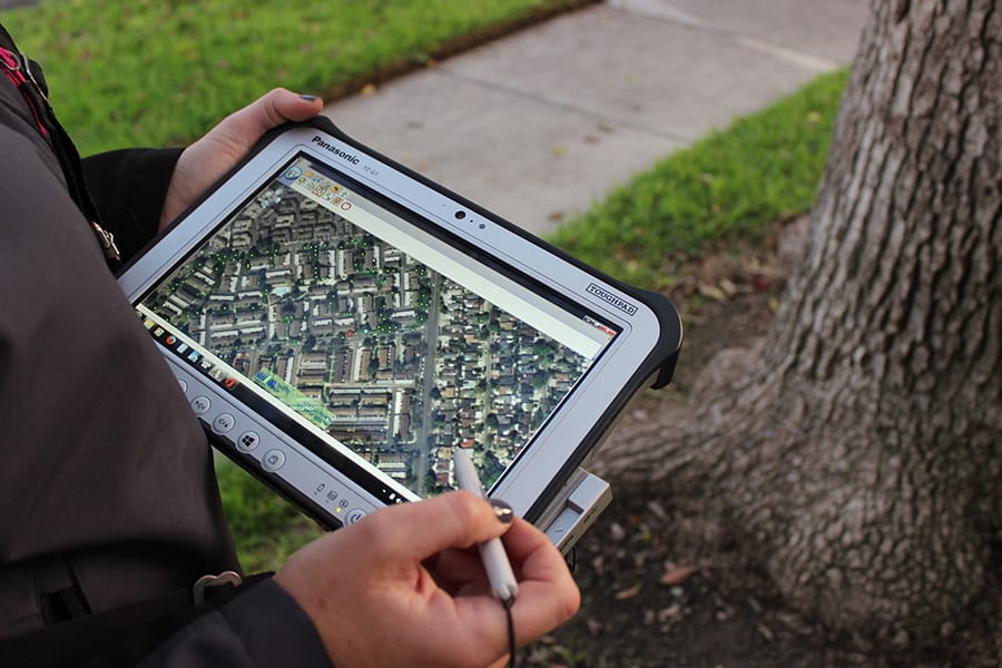
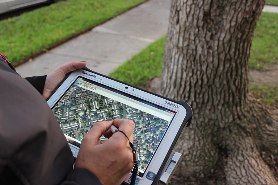
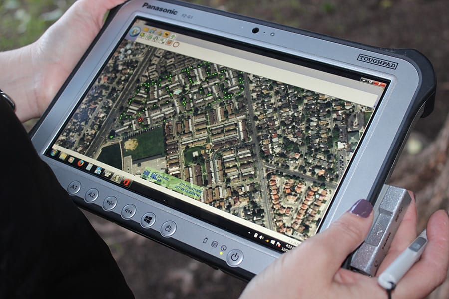
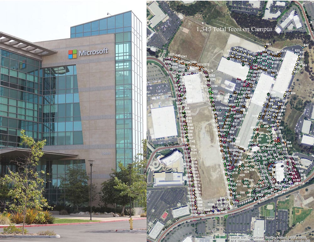
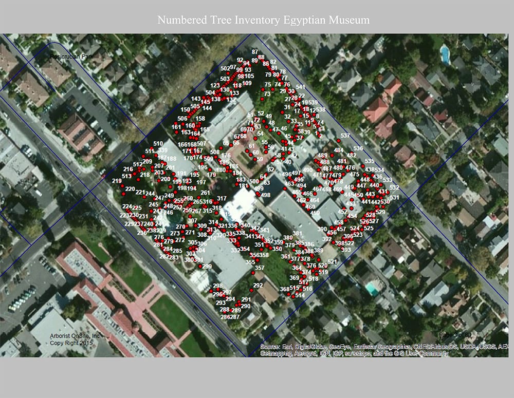
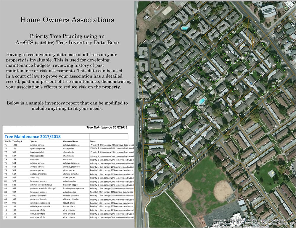
ArcGIS imaging is state of the art technology when it comes to tree inventories for large properties. The technician is able to collect data about your trees, bounce it off a circling satellite. It then places the tree number directly on the site map of your property along with information about that tree for future evaluations.
Please contact us to discuss tree inventories.

